File:USA Washington Metropolitan Area location map.svg

Size of this PNG preview of this SVG file: 172 × 193 pixels. resolutions: 214 × 240 pixels | 428 × 480 pixels | 684 × 768 pixels | 913 × 1,024 pixels | 1,825 × 2,048 pixels. Foforɔ
Krataa no ankasa (SVG file, nominally 172 × 193 pixels, file size: 72 KB)
Tɔ fa
| Ɛmu nkyerɛkyere mu |
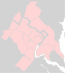
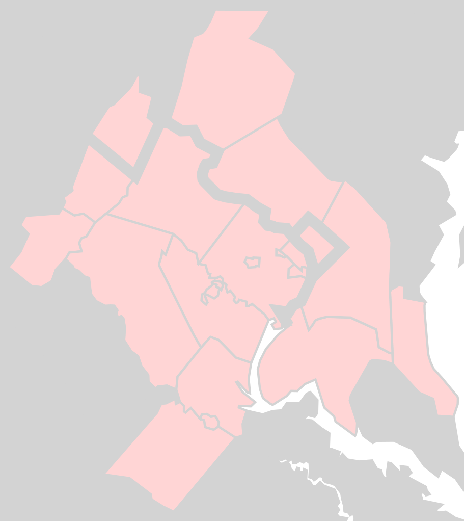
English: Washington Metropolitan Area as defined by 47900 DC-VA-MD-WV Metropolitan Statistical Area |
| Da | |
| Beaɛ a ɛfiri | File:Usa_counties_large.svg |
| Ɔtwerɛfoɔ | Federal Government |
| SVG genesis |
Tumidie krataa
This work is in the public domain in the United States because it is a work prepared by an officer or employee of the United States Government as part of that person’s official duties under the terms of Title 17, Chapter 1, Section 105 of the US Code.
Note: This only applies to original works of the Federal Government and not to the work of any individual U.S. state, territory, commonwealth, county, municipality, or any other subdivision. This template also does not apply to postage stamp designs published by the United States Postal Service since 1978. (See § 313.6(C)(1) of Compendium of U.S. Copyright Office Practices). It also does not apply to certain US coins; see The US Mint Terms of Use.
|
 | |
| This file has been identified as being free of known restrictions under copyright law, including all related and neighboring rights. | ||
Kratafa ne ho abakɔsɛm
Mia ɛda/berɛ no so na hwɛ sɛnea krataa no baeɛ wo saa berɛ nom
| Da/Mmere | Tɔfabɔ | Akwan ahodoɔ | Odwumdini | Adwenkyerɛ | |
|---|---|---|---|---|---|
| nea ɛkɔ so | 18:08, 21 Ɔbɛnem 2017 | | 172 × 193 (72 KB) | Id4abel | Thick black lines made text impossible to read. |
| 19:19, 19 Ɔbɛnem 2017 |  | 172 × 193 (72 KB) | Id4abel | Derived from wikimedia File:Usa_counties_large.svg, same as the original version, but this version is of a better quality. | |
| 15:53, 17 Ɔbɛnem 2017 |  | 373 × 408 (256 KB) | Id4abel | Exactly the same coordinates, but a vastly superior quality map from OpenStreetMap. | |
| 02:55, 13 Ayɛwohomumɔ 2016 |  | 41 × 42 (22 KB) | Id4abel | User created page with UploadWizard |
Nkrataa a wɔde di dwuma
Nea ɛdidisoɔ yi kratafa dwumadie this file:
Nea wiase nyinaa de yɛ adwuma
Wikis a edidi so yi de di dwuma:
- Yɛ de ayɛ adwuma wɔ ar.wikipedia.org
- Yɛ de ayɛ adwuma wɔ ce.wikipedia.org
- Yɛ de ayɛ adwuma wɔ en.wikipedia.org
- Montgomery County, Maryland
- Frederick County, Maryland
- Calvert County, Maryland
- Charles County, Maryland
- Talk:Warren County, Virginia
- Talk:Falls Church, Virginia
- Talk:Charles County, Maryland
- National Capital Area Council
- Module:Location map/data/USA Washington Metropolitan Area
- Module:Location map/data/USA Washington Metropolitan Area/doc
- User:Id4abel/sandbox/dcareamaps
- Talk:Alexandria, Virginia/Archive 1
- Yɛ de ayɛ adwuma wɔ fr.wikipedia.org
- Yɛ de ayɛ adwuma wɔ ru.wikipedia.org
- Yɛ de ayɛ adwuma wɔ si.wikipedia.org
- Yɛ de ayɛ adwuma wɔ uz.wikipedia.org
- Yɛ de ayɛ adwuma wɔ zh.wikipedia.org