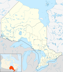
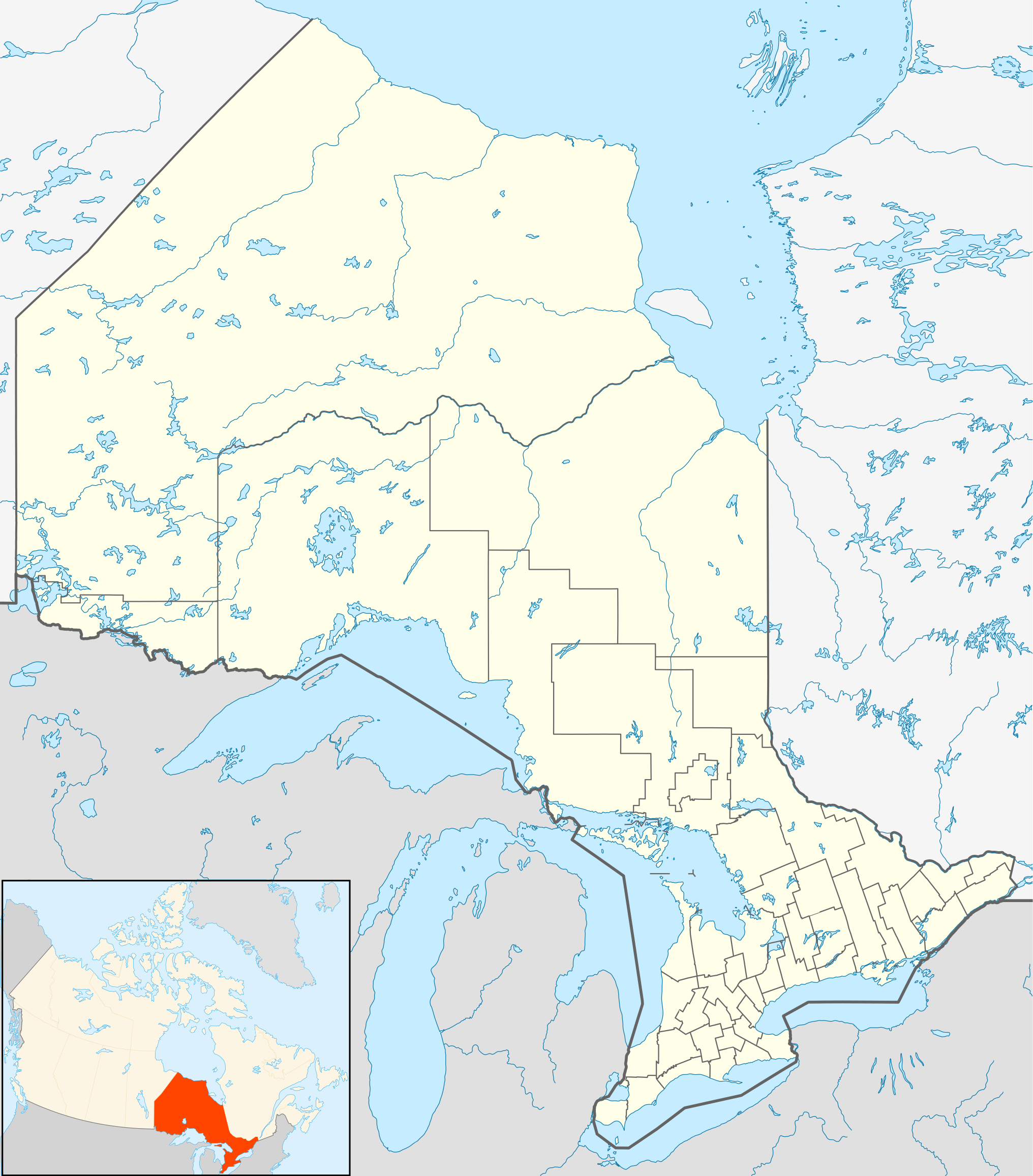
File:Canada Ontario location map 2.svg

Size of this PNG preview of this SVG file: 526 × 599 pixels. resolutions: 211 × 240 pixels | 421 × 480 pixels | 674 × 768 pixels | 899 × 1,024 pixels | 1,798 × 2,048 pixels | 2,032 × 2,314 pixels. Foforɔ
Krataa no ankasa (SVG file, nominally 2,032 × 2,314 pixels, file size: 1.4 MB)
Tɔ fa
| Ɛmu nkyerɛkyere mu |
Quadratische Plattkarte, N-S-Streckung 155 %. Geographische Begrenzung der Karte:
Equirectangular projection, N/S stretching 155 %. Geographic limits of the map:
|
| Da | |
| Beaɛ a ɛfiri |
NordNordWest, using
|
| Ɔtwerɛfoɔ | NordNordWest |
| Akwanya (Fa nkrataa no di dwuma biom) |
I, the copyright holder of this work, hereby publish it under the following license: This file is licensed under the Creative Commons Attribution-Share Alike 3.0 Unported license.
|
| Other versions |
|


Kratafa ne ho abakɔsɛm
Mia ɛda/berɛ no so na hwɛ sɛnea krataa no baeɛ wo saa berɛ nom
| Da/Mmere | Tɔfabɔ | Akwan ahodoɔ | Odwumdini | Adwenkyerɛ | |
|---|---|---|---|---|---|
| nea ɛkɔ so | 21:32, 22 Ɛbɔ 2009 | | 2,032 × 2,314 (1.4 MB) | Michiel1972 | {{int:filedesc}} {{Information |Description= {{de|Positionskarte von Ontario, Kanada}} Quadratische Plattkarte, N-S-Streckung 155 %. Geographische Begrenzung der Karte: * N: 57.1° N * S: 41.3° N * W: 95.5° W * O: 74.0° W |
Nkrataa a wɔde di dwuma
Nea ɛdidisoɔ yi kratafa dwumadie this file:
Nea wiase nyinaa de yɛ adwuma
Wikis a edidi so yi de di dwuma:
- Yɛ de ayɛ adwuma wɔ af.wikipedia.org
- Yɛ de ayɛ adwuma wɔ als.wikipedia.org
- Yɛ de ayɛ adwuma wɔ ar.wikipedia.org
- Yɛ de ayɛ adwuma wɔ ast.wikipedia.org
- Yɛ de ayɛ adwuma wɔ azb.wikipedia.org
- Yɛ de ayɛ adwuma wɔ ba.wikipedia.org
- Yɛ de ayɛ adwuma wɔ bg.wikipedia.org
- Yɛ de ayɛ adwuma wɔ bn.wikipedia.org
- Yɛ de ayɛ adwuma wɔ ceb.wikipedia.org
- Yɛ de ayɛ adwuma wɔ cs.wikipedia.org
- Yɛ de ayɛ adwuma wɔ da.wikipedia.org
- Yɛ de ayɛ adwuma wɔ en.wikipedia.org
View more global usage of this file.