File:Canada Saskatchewan location map.svg

Size of this PNG preview of this SVG file: 486 × 599 pixels. resolutions: 195 × 240 pixels | 389 × 480 pixels | 623 × 768 pixels | 831 × 1,024 pixels | 1,662 × 2,048 pixels | 1,512 × 1,863 pixels. Foforɔ
Krataa no ankasa (SVG file, nominally 1,512 × 1,863 pixels, file size: 720 KB)
Tɔ fa
| Ɛmu nkyerɛkyere mu |
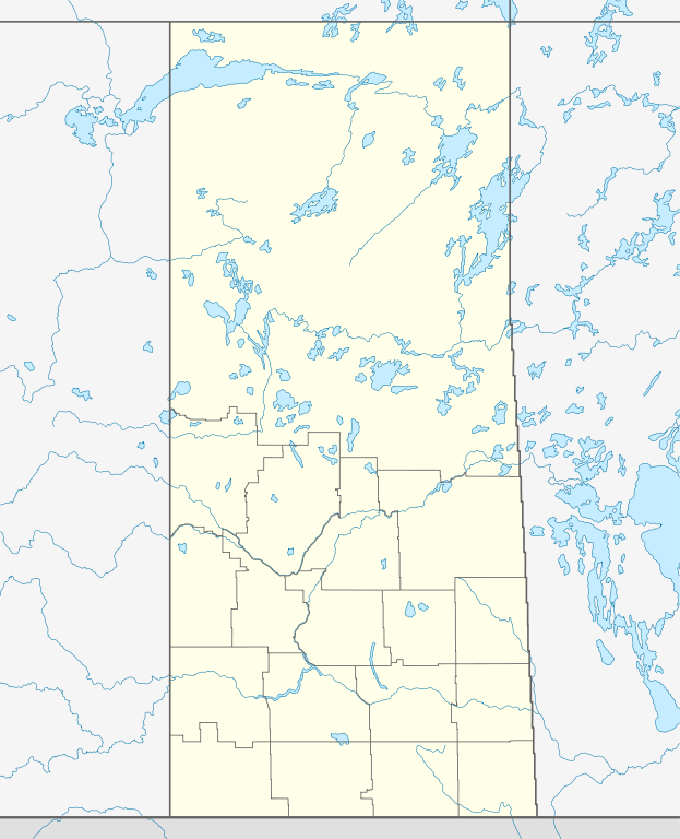
Quadratische Plattkarte, N-S-Streckung 170 %. Geographische Begrenzung der Karte:
Equirectangular projection, N/S stretching 170 %. Geographic limits of the map:
|
| Da | |
| Beaɛ a ɛfiri |
Wo ankasa w'adwuma, using
|
| Ɔtwerɛfoɔ | NordNordWest |
| Akwanya (Fa nkrataa no di dwuma biom) |
I, the copyright holder of this work, hereby publish it under the following license: This file is licensed under the Creative Commons Attribution-Share Alike 3.0 Unported license.
|
| Other versions |
|


|
This map has been made or improved in the German Kartenwerkstatt (Map Lab). You can propose maps to improve as well.
|
Kratafa ne ho abakɔsɛm
Mia ɛda/berɛ no so na hwɛ sɛnea krataa no baeɛ wo saa berɛ nom
| Da/Mmere | Tɔfabɔ | Akwan ahodoɔ | Odwumdini | Adwenkyerɛ | |
|---|---|---|---|---|---|
| nea ɛkɔ so | 13:30, 26 Ɔsanaa 2009 | | 1,512 × 1,863 (720 KB) | NordNordWest | {{int:filedesc}} {{Information |Description= {{de|Positionskarte von Saskatchewan, Kanada}} Quadratische Plattkarte, N-S-Streckung 170 %. Geographische Begrenzung der Karte: * N: 60.3° N * S: 48.7° N * W: 114.0° W * |
Nkrataa a wɔde di dwuma
Nea ɛdidisoɔ yi kratafa dwumadie this file:
Nea wiase nyinaa de yɛ adwuma
Wikis a edidi so yi de di dwuma:
- Yɛ de ayɛ adwuma wɔ af.wikipedia.org
- Yɛ de ayɛ adwuma wɔ ar.wikipedia.org
- Yɛ de ayɛ adwuma wɔ azb.wikipedia.org
- Yɛ de ayɛ adwuma wɔ ban.wikipedia.org
- Yɛ de ayɛ adwuma wɔ ba.wikipedia.org
- Yɛ de ayɛ adwuma wɔ be-tarask.wikipedia.org
- Yɛ de ayɛ adwuma wɔ bg.wikipedia.org
- Yɛ de ayɛ adwuma wɔ ceb.wikipedia.org
- Yɛ de ayɛ adwuma wɔ cs.wikipedia.org
- Šablona:LocMap Saskatchewan
- La Ronge (Saskatchewan)
- Beauval (Saskatchewan)
- Île-à-la-Crosse (Saskatchewan)
- Jans Bay (Saskatchewan)
- Goodsoil (Saskatchewan)
- Dorintosh (Saskatchewan)
- Pierceland (Saskatchewan)
- Glaslyn (Saskatchewan)
- Invermay (Saskatchewan)
- Sheho (Saskatchewan)
- Margo (Saskatchewan)
- Tuffnell (Saskatchewan)
- Glenside (Saskatchewan)
- Broderick (Saskatchewan)
- Macrorie (Saskatchewan)
- Hawarden (Saskatchewan)
- Loreburn (Saskatchewan)
- Elbow (Saskatchewan)
- Mistusinne (Saskatchewan)
- Dinsmore (Saskatchewan)
- Conquest (Saskatchewan)
- Paddockwood (Saskatchewan)
- Meath Park (Saskatchewan)
- Weirdale (Saskatchewan)
- Choiceland (Saskatchewan)
- Yɛ de ayɛ adwuma wɔ de.wikipedia.org
View more global usage of this file.